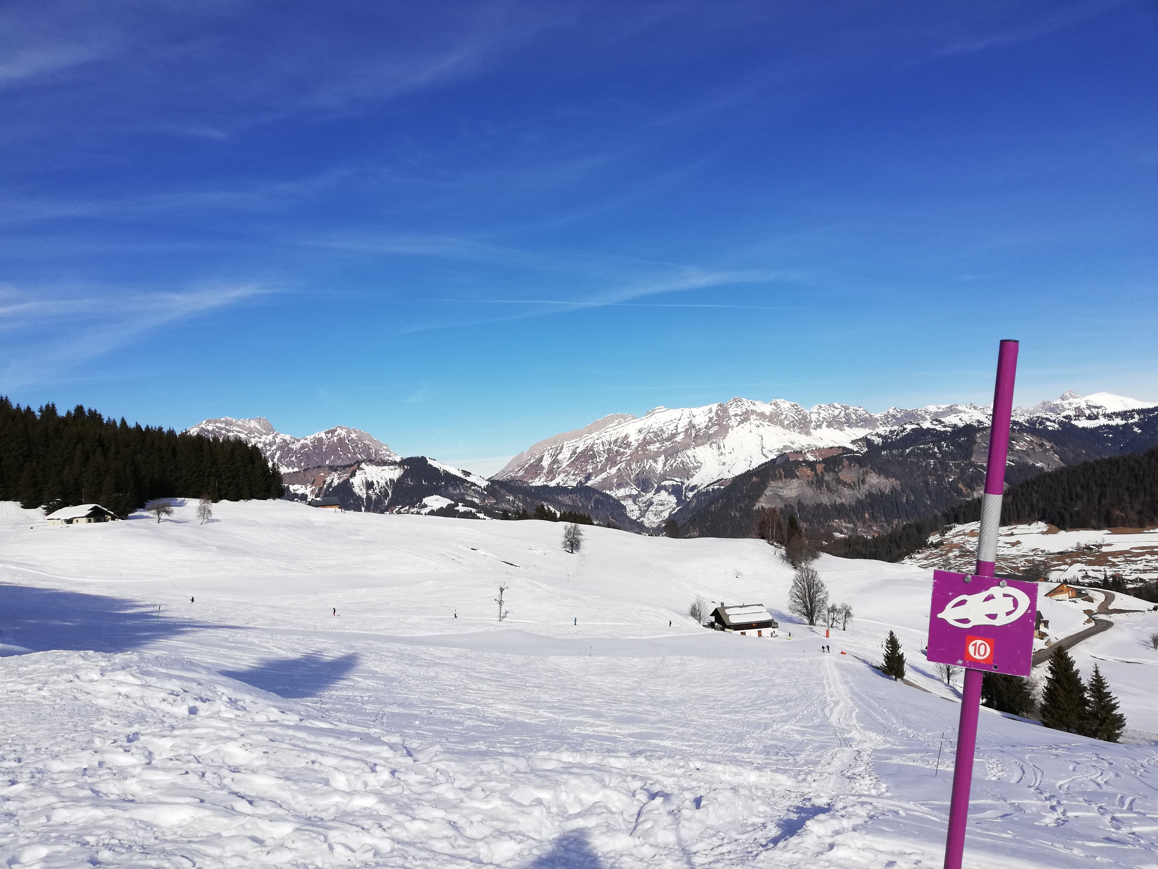
Mont-Lachat from "Les Reys" n°10
From the Tourist Office, head towards Les Saisies, on the RD71A for around 50 m. Take left the Chemin de Bostu and go to the end of the dead end for 100 m to join the start of the route. The first part of the route is flat on an existing path. At the "Le Bostu" crossroads, turn right to go up in a wooded area, then come out in a clearing. Cross the access road leading to the houses and resume the route parallel to the road. Continue towards the houses. Cross the RD71A (caution), continue to the left of the Reys ski lift and go up towards the Crestera ski lift. The route then follows the "Desserts" ski slope (watch out for skiers) and continues to the Les Molliettes ski lift. Cross at the foot of the ski lift and go up next to the track towards the Lachat refuge. The route continues in the forest. Pass behind the refuge, and cross a ski slope again. The route then joins a groomed footpath to Mont-Lachat. Return to the village by the same route or via the Cernix or by the TS de La Logère.
TO KNOW :
Crest-Voland Cohennoz is an ideal balcony on the Aravis range, this 35 km long Pre-Alps massif, whose high crest line rises more than 2000 m. The most recognizable summit is Mont-Charvin, a sort of limestone pyramid 2049 m high. The Col des Aravis (1486 m) is the only passage through this mountain barrier. On the far right, you can see Pointe Percée, the highest point in the Massif des Aravis (2,752 m), in the distance.