Crossing the Tête du Vuargne
Difficulty: easy
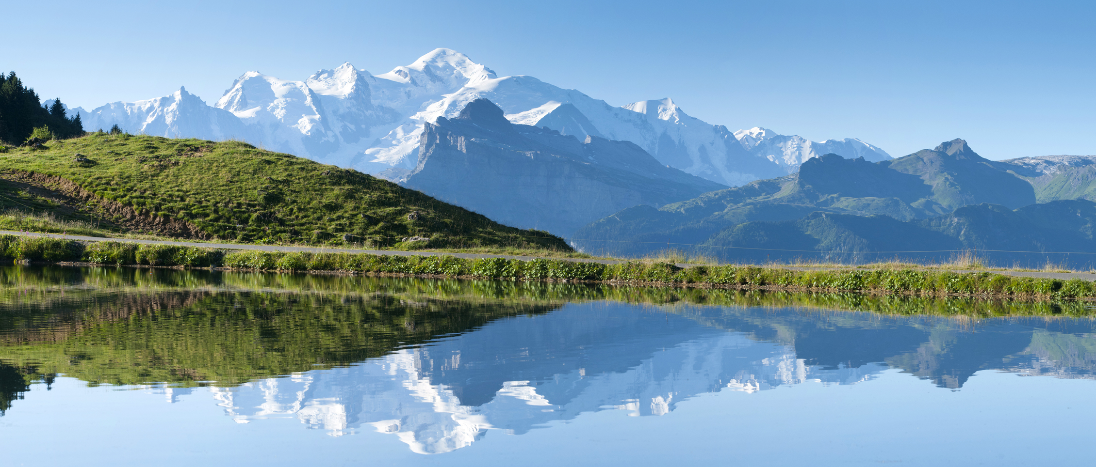
Start: Joux Plane lake (located at the top of the Joux Plane pass)
Map reference: Vallée du Haut Giffre topo-guide
From the Joux Plane lake, take the path on the right which leads to the real Joux Plane pass located between the Tête de Vuargne* on the left (which we will climb) and the pointe d'Angolon on the right. From the pass, a path quickly rises up the grassy slope by a few tight switchbacks to reach a rocky projection.
The path skirts around it on the left, crosses the slopes overlooking the lake and then rises in a valley before reaching the ridge.
The path continues, without further difficulty, opening up a splendid view of the Mt Blanc range on the left and the Chablais mountains on the right.
A few hundred metres further on, the Ranfolly chairlift station appears (Les Gets ski area). In front of the station, an orientation table will allow you to put a name on the summits that surround you.
Continuing along the ridge, the path descends quietly to the Col road. Once you have reached the road, turn left to reach the lake.
Itinerary for guidance only.