La Taillat bicycle loop
Your starting point is right next to the entrance to the greenway along the Isère river. If the parking lot is overcrowded, don't hesitate to use the nearby Charrière d'Enfer parking lot (starting point for the Bois Français loop).
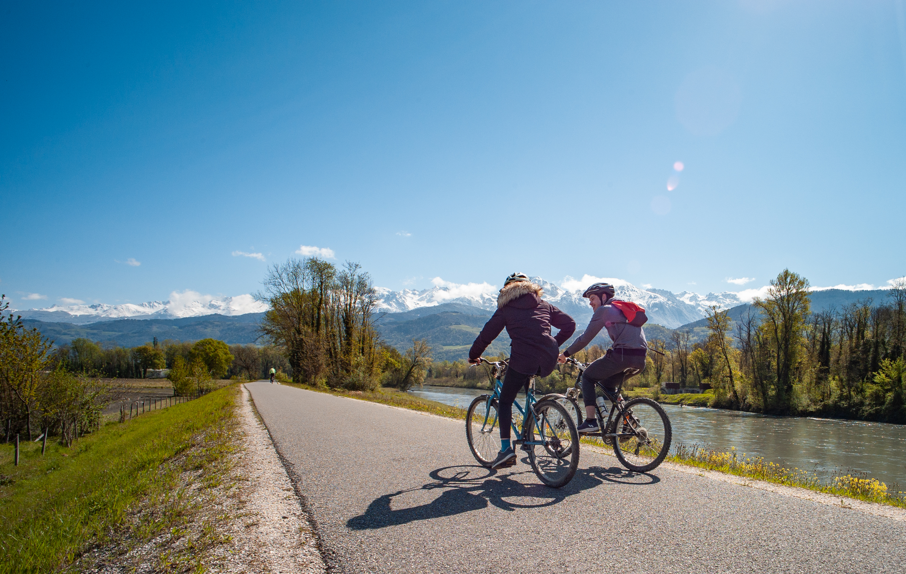
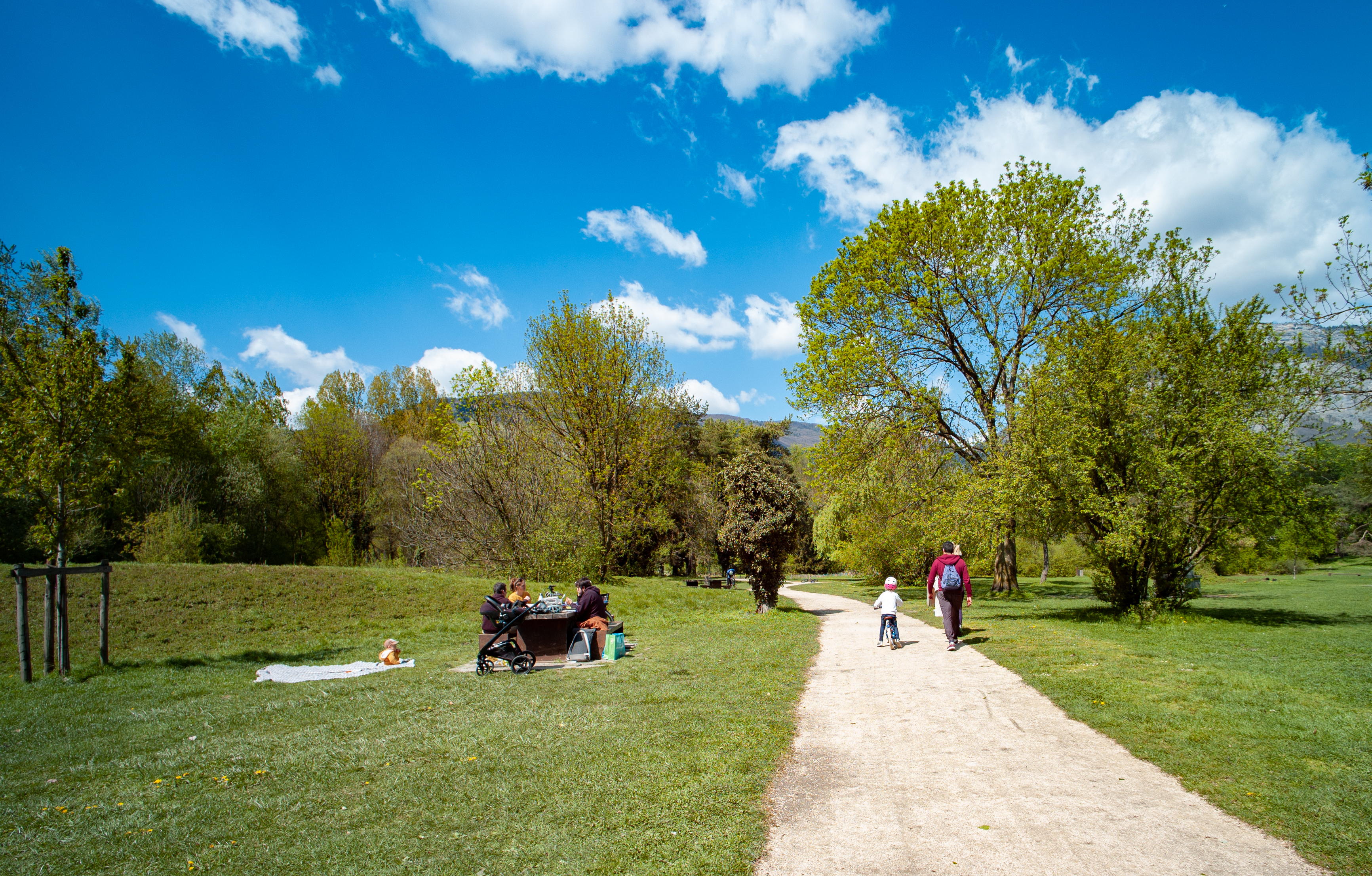
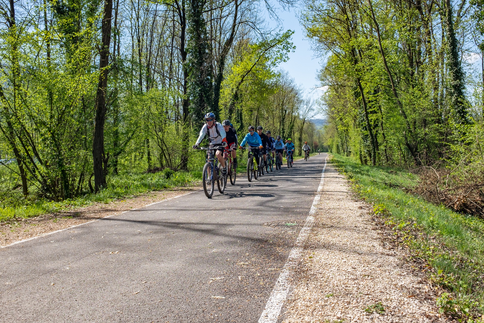
After walking along the riverside greenway, turn south and cross the river on the cycle path that runs alongside the D11. The quiet, shady chemin de la digue then leads you towards the campus. Finally, you reach the shores of Lac Taillat via an easy grassy path.
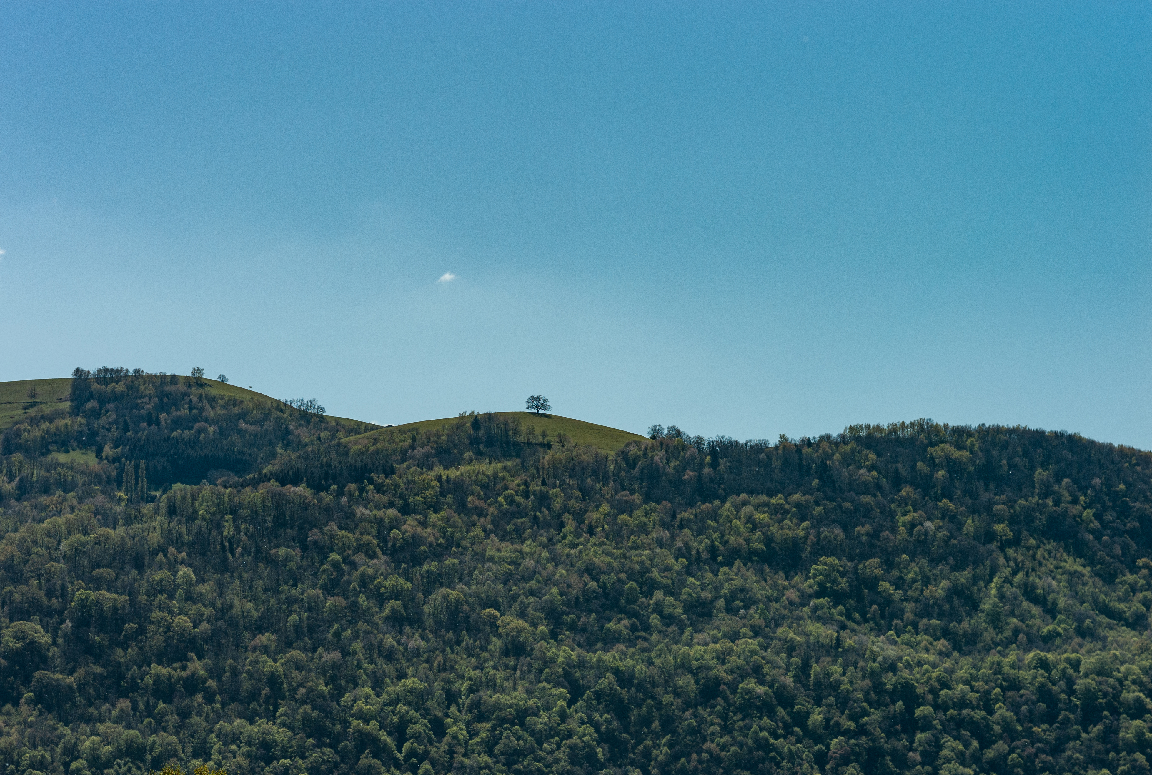
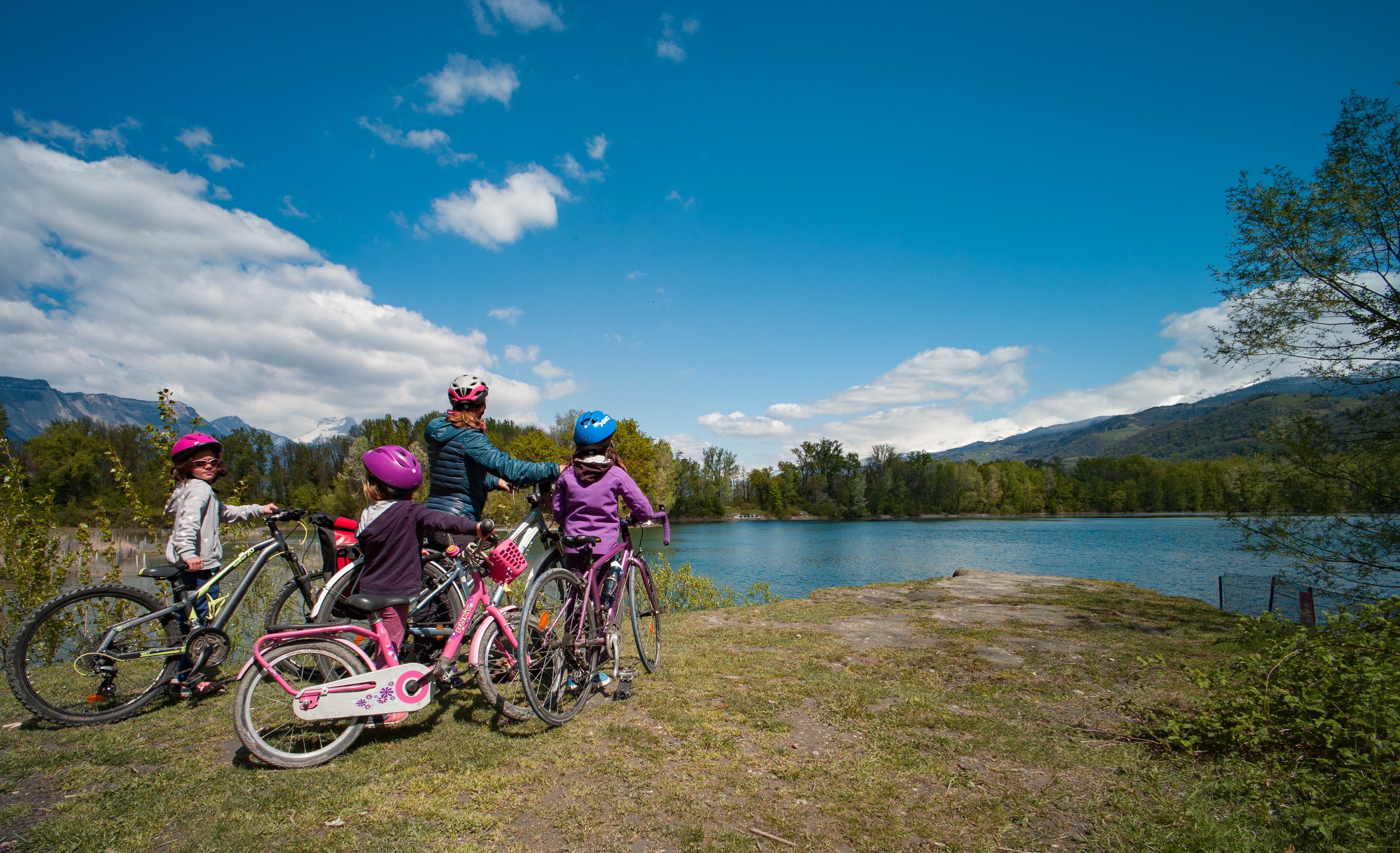
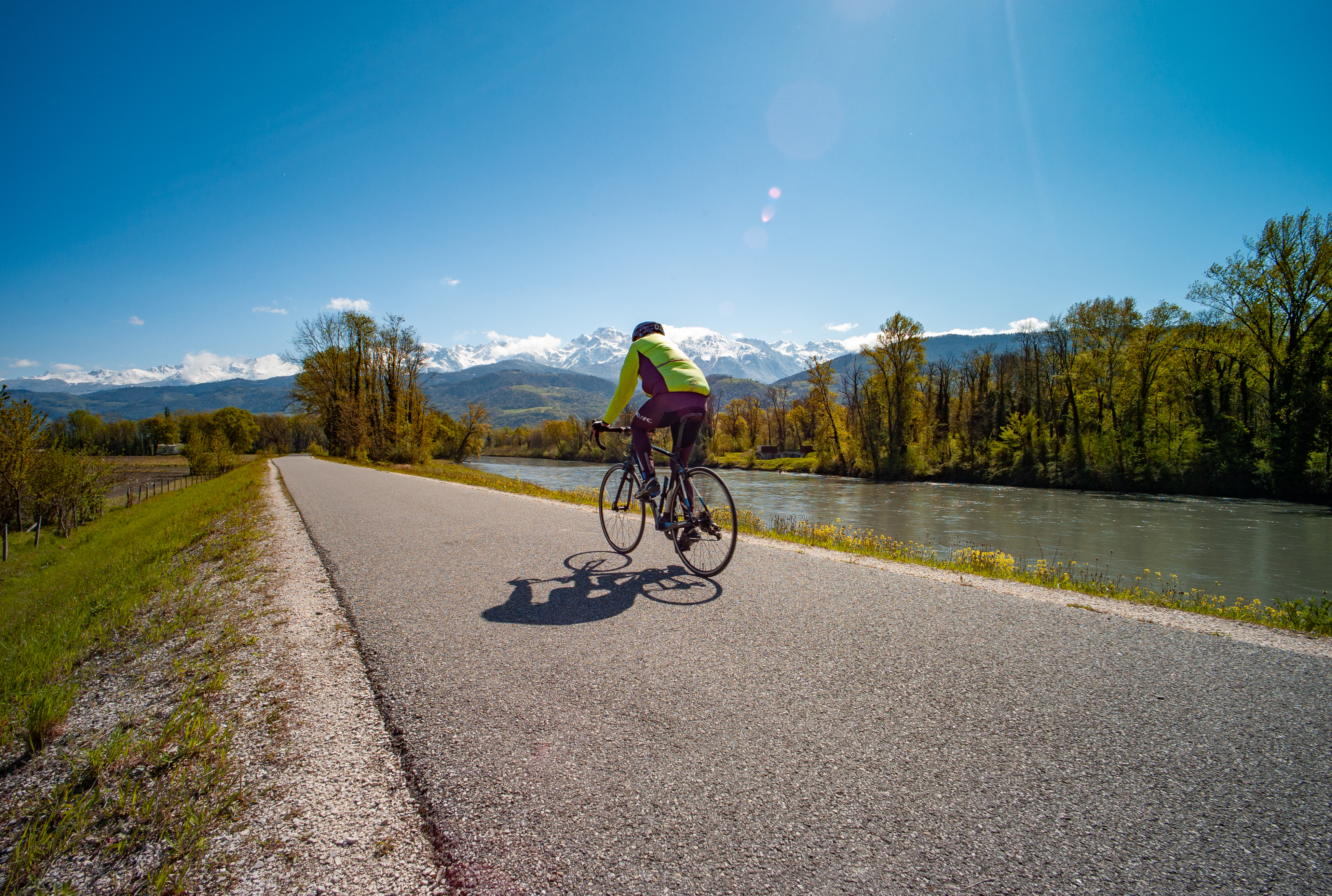
On the outward journey, the Vercors foothills guide your progress, creating a vanishing line that guides both your wheel and your gaze.
On the return journey, you'll enjoy breathtaking views of the Belledonne chain and the Chartreuse massif.
From the parking lot, head south, then, once you've reached the banks of the Isère, turn left onto the "voie verte des berges de l'Isère".
After passing under the hopper, leave the greenway on your left. Carefully cross the route du Bois Français and take the cycle path to the left of the circuit, joining the route de Domene (D11). Follow this road, continuing on the cycle path, to cross the Isère on your left (direction Domene, Gap, Sisteron).
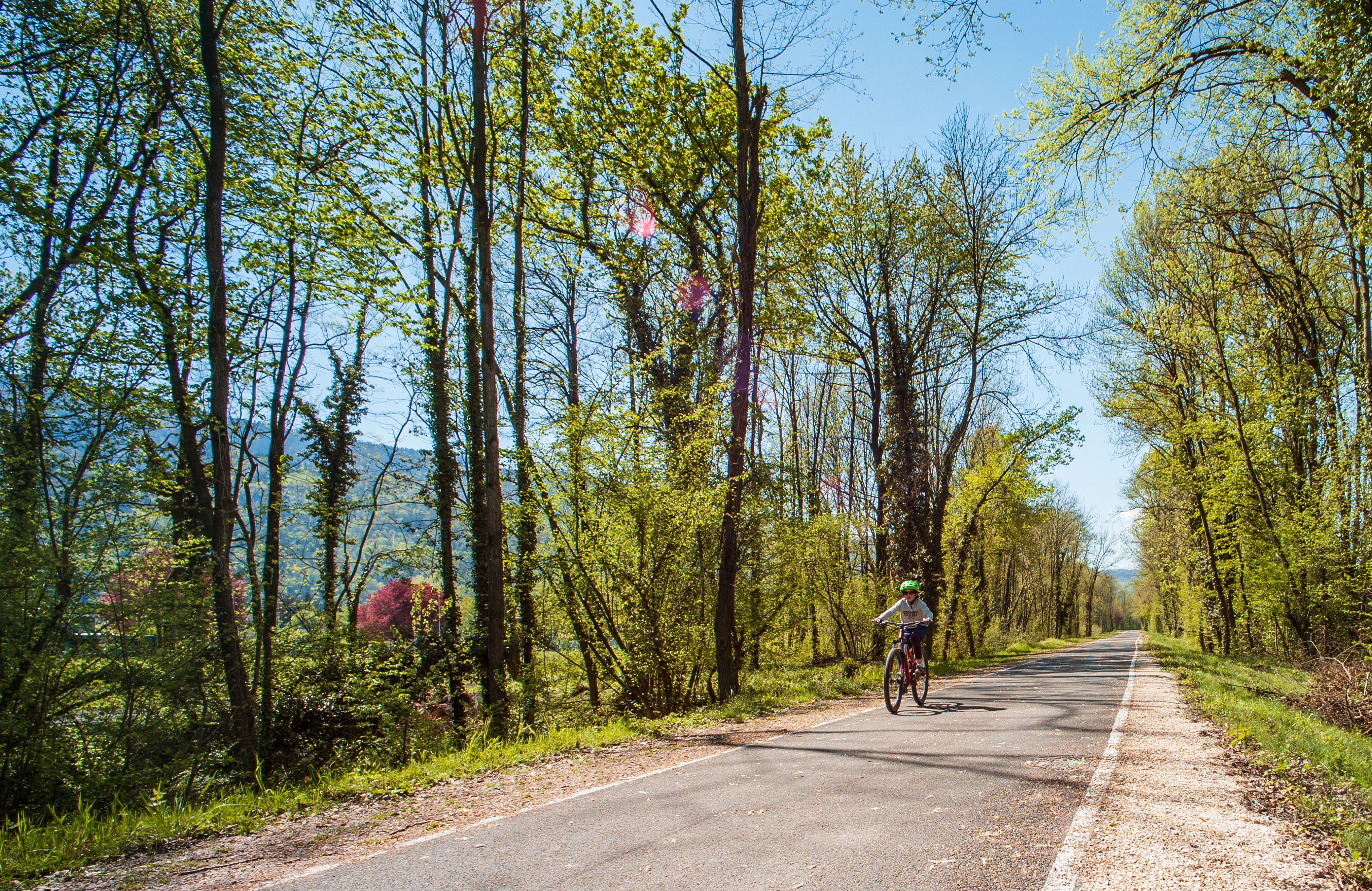
Leave the D11 and continue along the cycle path, which bends to the left to join the chemin de la digue, which you join on the left to follow the Isère for 8.5km.
Leave the voie verte and return to the heart of the campus by turning left onto the cycle path that runs alongside the tennis courts. At the first crossroads, turn right onto the two-way cycle track* heading north.
Cross rue de la piscine, and turn right onto the cycle path that runs alongside it. Take the first left, then cross Rue de la Papeterie to continue along the cycle path.
Turn right and continue along this 240m-long winding road, crossing rue de la Piscine again. Continue straight ahead, then turn left onto rue de la Passerelle to reach the banks of the Isère.
Cross the Meylan footbridge, then turn right onto the gravel path that takes you upstream for 3km.
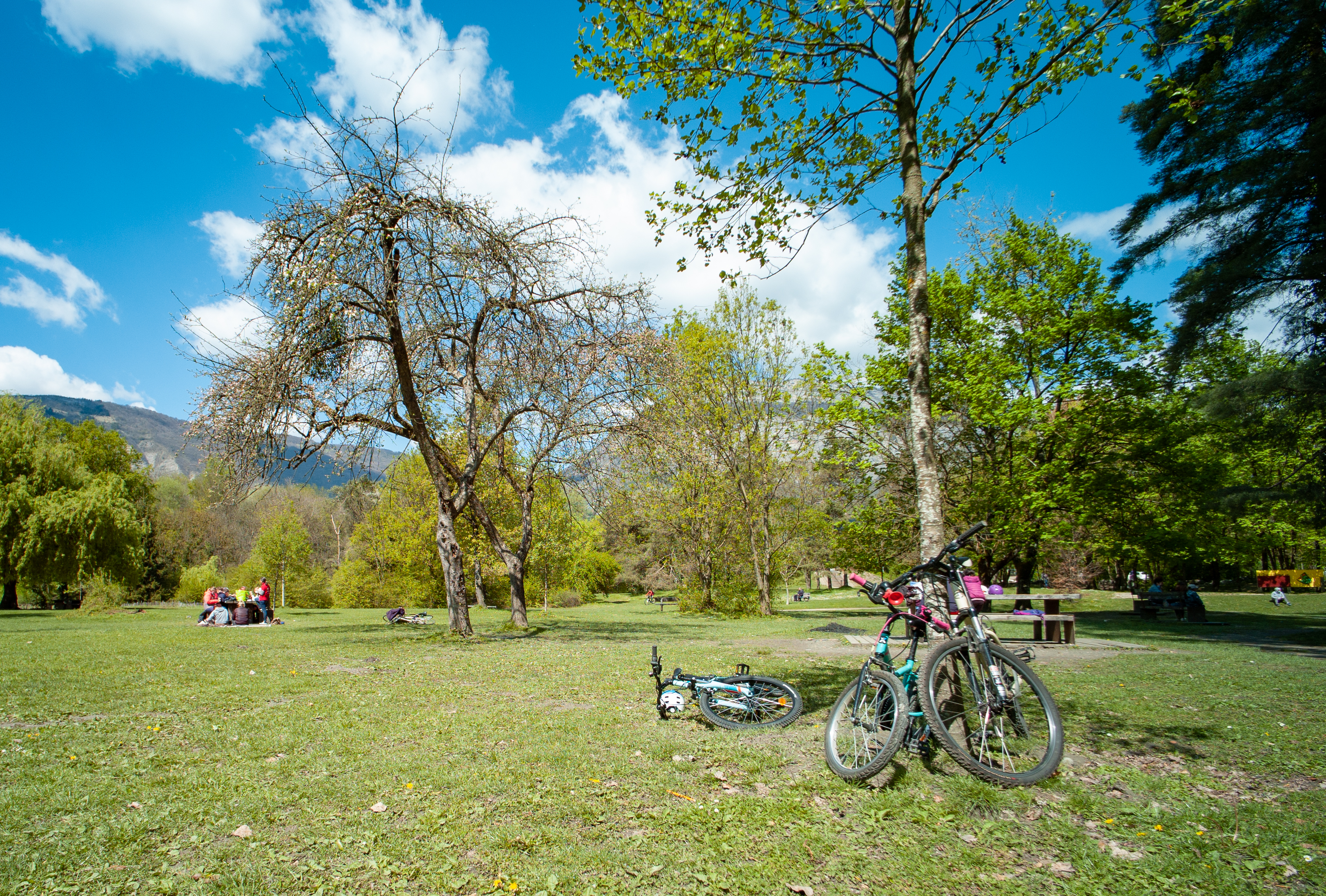
Leave the bank of the Isère by taking the path (forbidden to horse riders) which leads off to the left and skirts Lac Taillat. 350m further on, take the track on your right. This takes you as close as possible to the north shore of the lake.
Rejoin the Chemin de Digue on the left.
Leave the greenway on your left to return to your starting point.