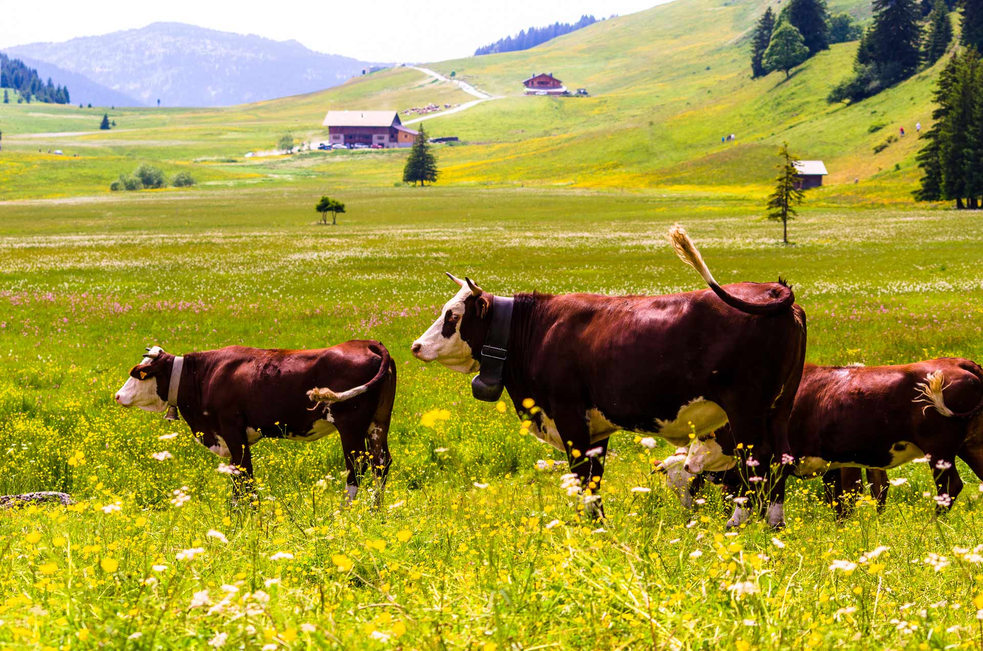
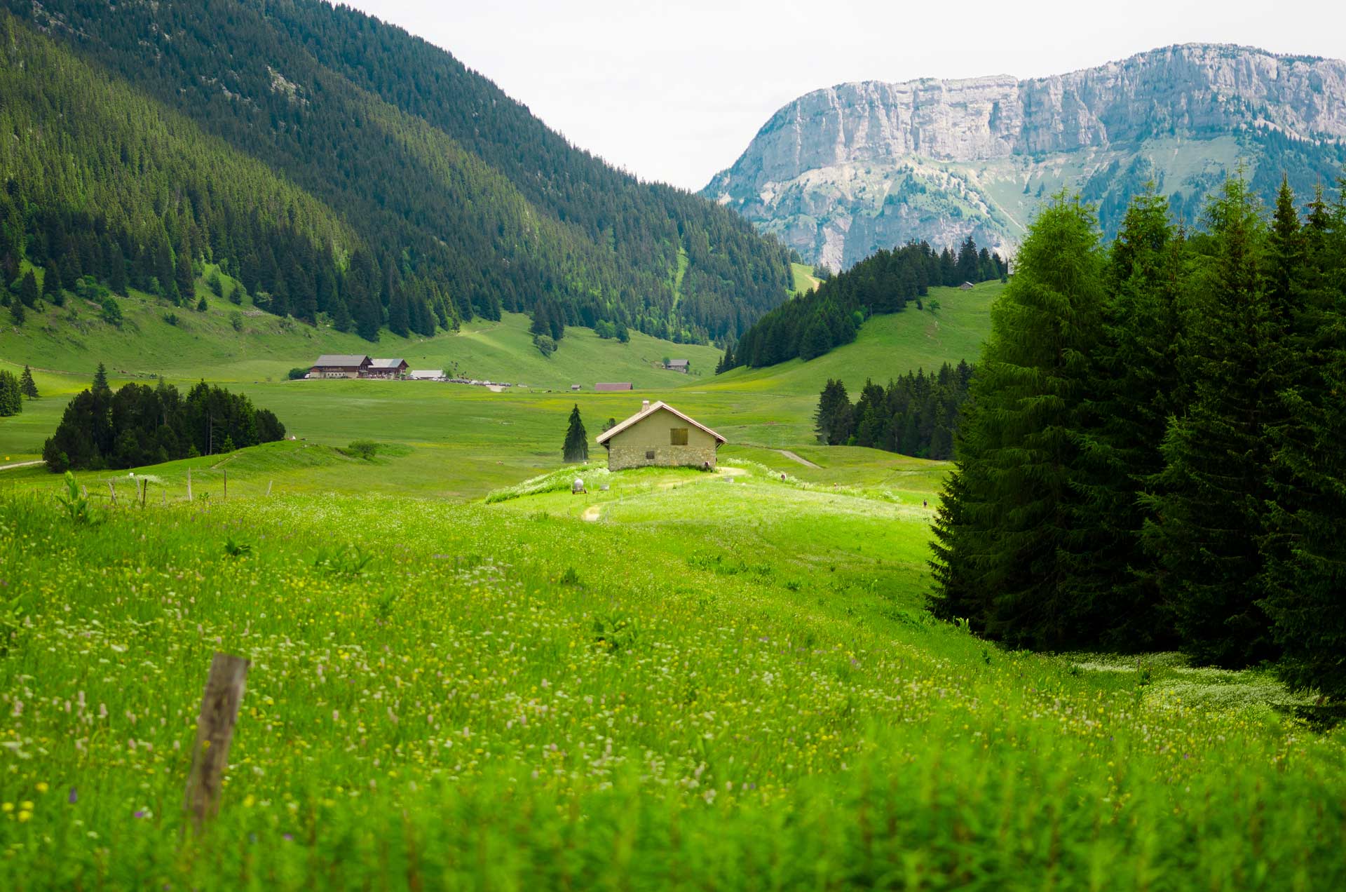
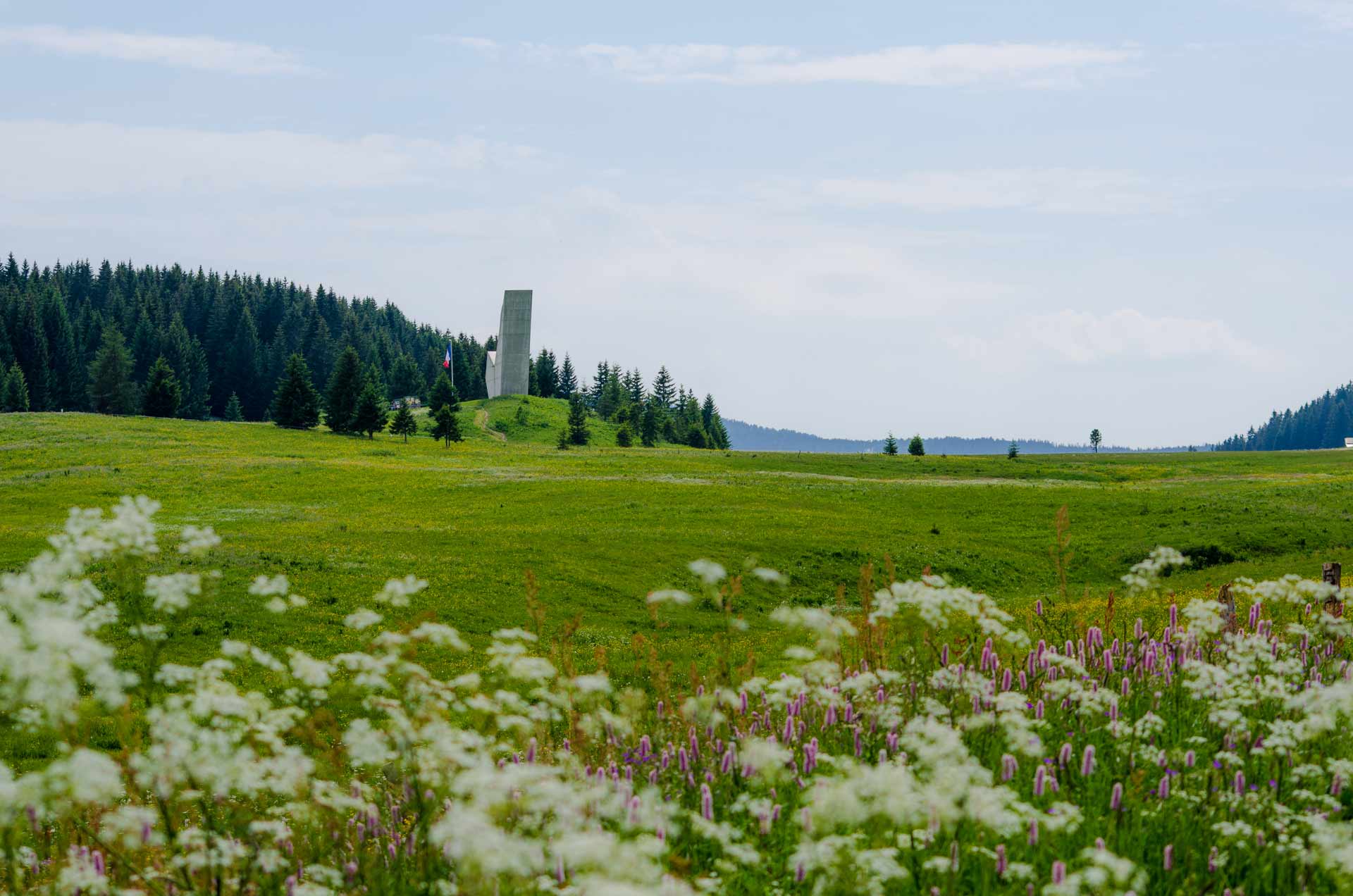
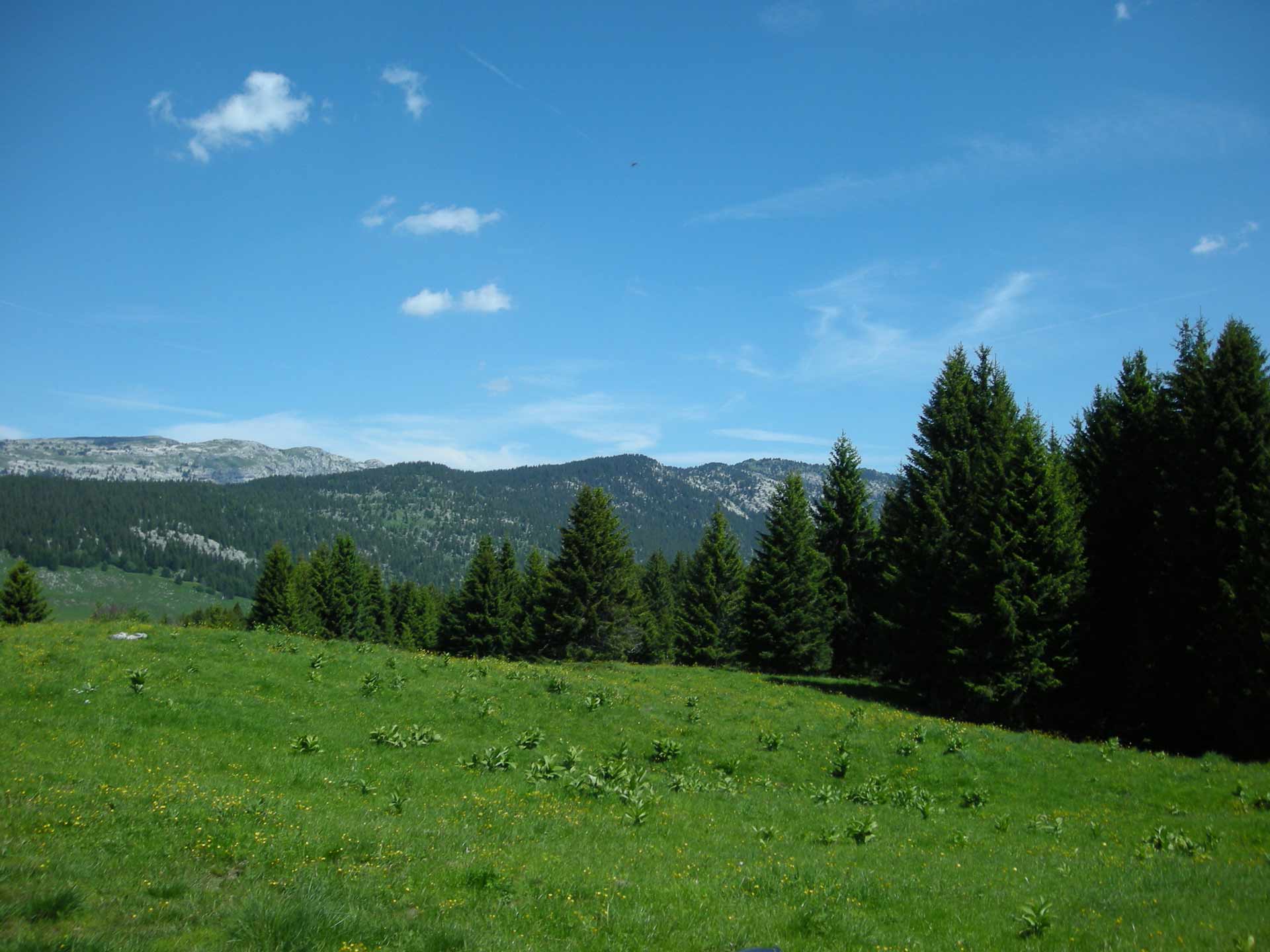
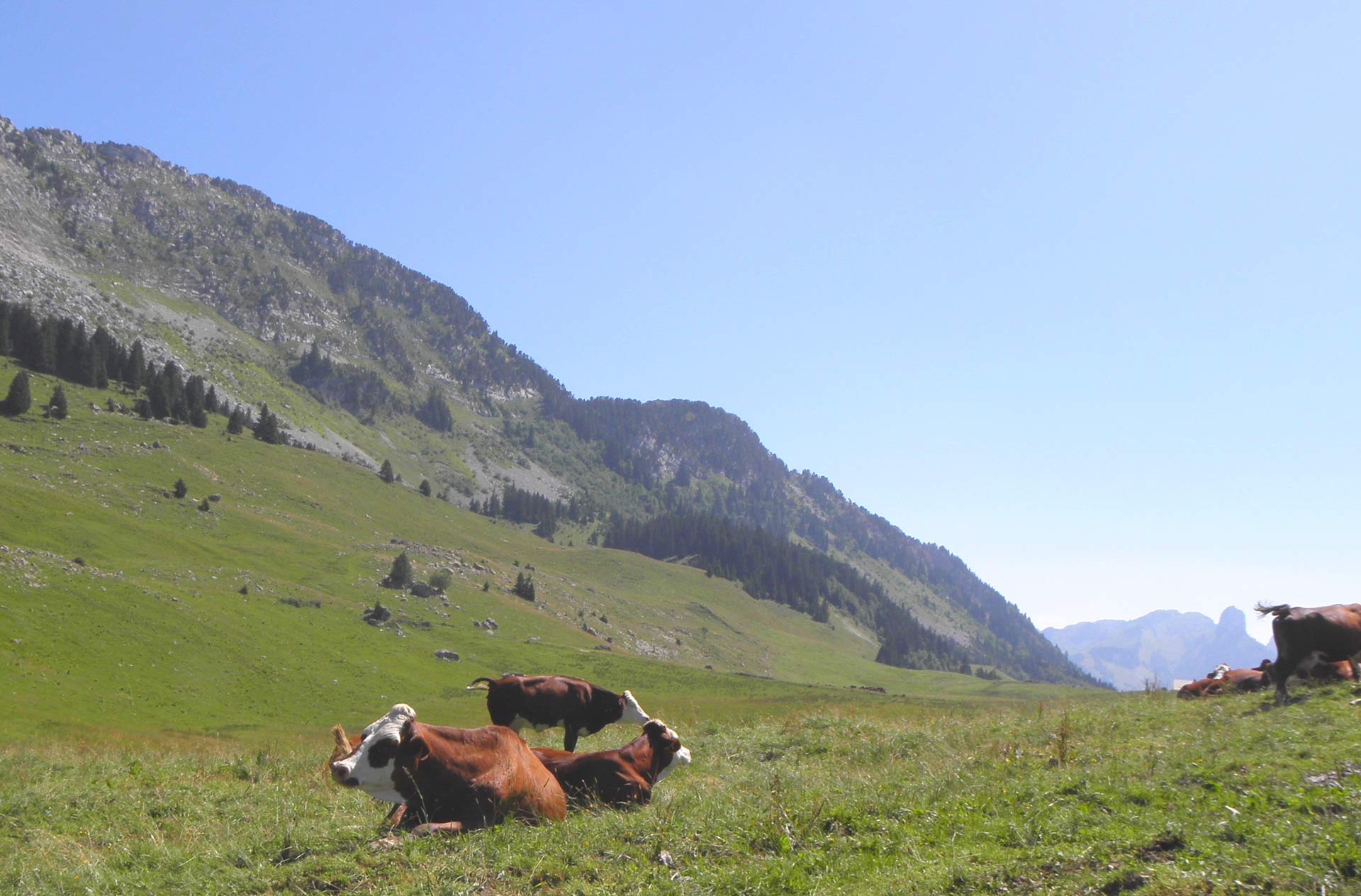
Plateau des Glières
At the heart of the Haute-Savoie region, this superb valley is made of limestone rock. It is situated in the Bornes Massif, between the mountains of Auges (1,800 m) and Frêtes, 29 km and 15 km away from La Roche-sur-Foron and Thorens-Glières respectively, and located in the communes of Petit-Bornand-les-Glières and Thorens-Glières.
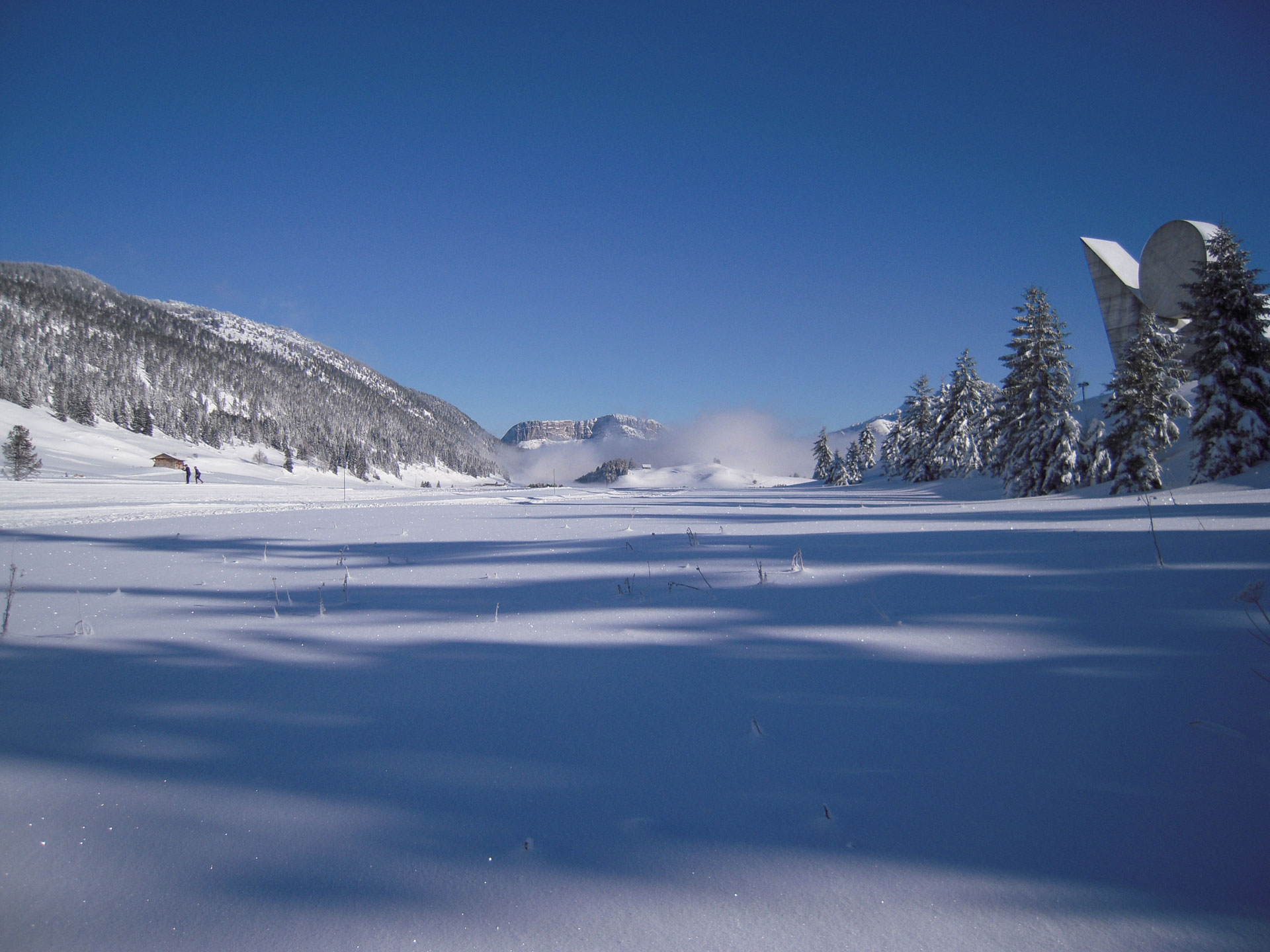
The pass is situated at an altitude of 1,440 m, the Plateau des Glières offers a number of activities. In fact, it is the key meeting place for passionate Nordic skiers in winter, and hikers in summer.
In winter, snowshoeing is common, and a toboggan slope is set up each year children.
Caving activity is also popular, with some fifteen cavities of over 150 metres deep identified on Les Frêtes. The deepest cavity of which we are currently aware on the Plateau des Glières is the Tanne à Paccot, also known as the "hole of the A2". Its estimated depth is around 400 metres.
History lovers will be able to devote themselves to guided tours to discover - or supplement their knowledge of - the events that took place on the plateau during the Second World War that made it a centre of resistance. There is also a discovery trail, to learn while enjoying nature.